About the Observatory
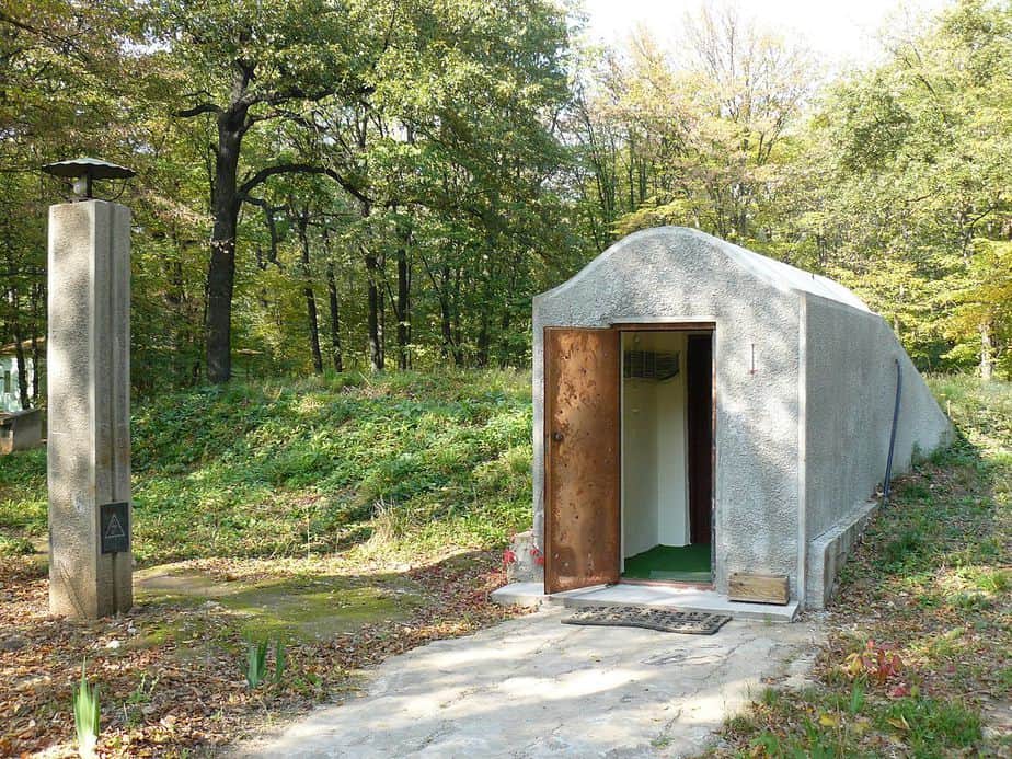
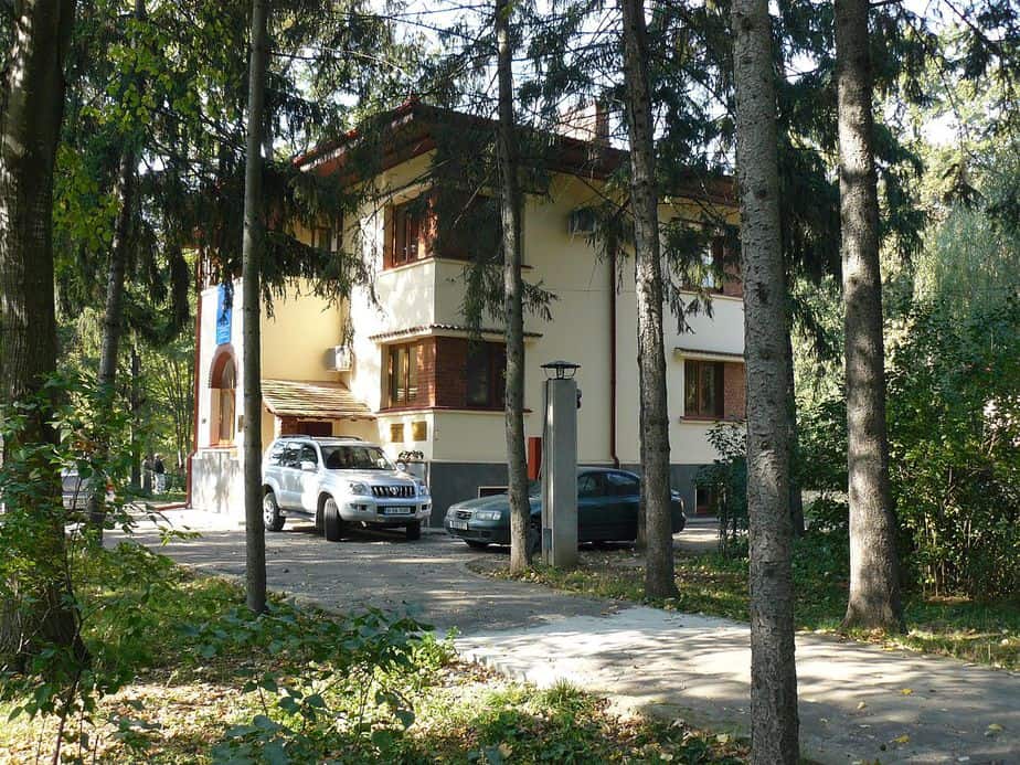
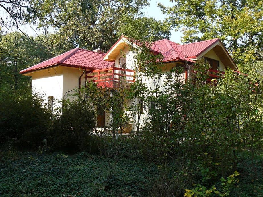
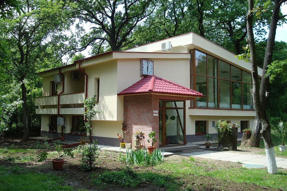
The “Liviu Constantinescu” National Geomagnetic Observatory at Surlari—commonly known simply as the Surlari Geomagnetic Observatory—was founded in 1943 as a research unit of the Geological Institute of Romania. It is located in the Surlari Forest, approximately 35 km northeast of Bucharest, in an area shielded from magnetic disturbances situated between the Cociovaliștea and Vlăsia valleys.
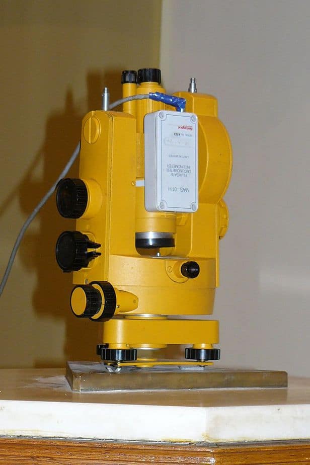
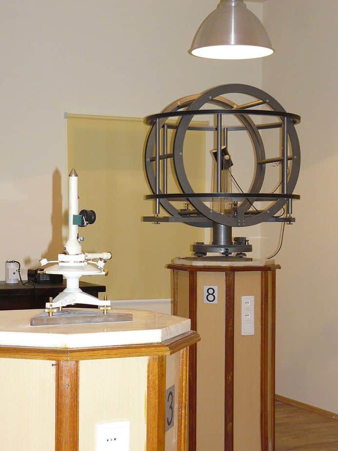
The observatory serves as a center for fundamental research in geomagnetism, with applications in geomagnetic prospecting; it also functions as a reference station for the compilation of national geomagnetic maps. Its measurement equipment provides values established as national magnetic standards and is used to calibrate other instruments for magnetic measurements intended for scientific, prospecting, or other applications. Internationally, the observatory is part of INTERMAGNET, the global network of geomagnetic observatories dedicated to studying the structure and phenomena of the planetary magnetic field.
Types of activities
The Observatory’s primary, ongoing objective is the continuous, long-term recording of temporal variations in the Earth’s magnetic field vector, as well as the high-precision measurement of its absolute values to serve as a reference basis for the recordings.
Research directions:
- Quiet-day diurnal variation is the subject of ionospheric studies and serves as a basis for developing corrections required for magnetic prospecting operations. Phenomena include solar flare effects (SFE), storm disturbances, and storm sudden commencements (SSC).
- Bay-shaped disturbances, the morphology of which is influenced by both the ionosphere and the properties of the Earth’s crust.
- Secular variation and the normal geomagnetic field are monitored via the national station network—centered on the Surlari observatory—with significant applications in compiling national-scale magnetic maps (by referencing them to a unified level and reducing them to a common epoch) and in isolating magnetic anomalies. These data are also used to develop global geomagnetic models (such as WMM and IGRF). Measurements within this network are repeated periodically.
- Characterization of magnetic activity through the determination of global indices allows for an objective assessment of magnetic disturbances and the estimation of their effects on electric power transmission systems, radiocommunication networks, and even the biosphere.
- Recording and studying subsurface currents induced by geomagnetic variations (telluric currents).
- Comparative measurements of recording levels against other European observatories to calibrate national standards and correlate transnational maps.
- Investigating the potential use of geomagnetic phenomena as possible predictors for major earthquakes.
- Using long-term data series from Surlari, along with extrapolated historical values of magnetic declination and inclination, to construct the Bauer diagram—an image compared with similar ones obtained in London, Paris, Rome, and Dusheti.
- Determining rock magnetic susceptibility and its anisotropy, as well as the density of rock and sediment samples collected in the field.
- Determining remanent geomagnetic field values—both intensity and orientation—to establish the age of geological formations in accordance with the International Magnetostratigraphic Scale.
- Determining magnetic field declination and estimating its temporal variation within airport facilities and at compass-swinging pads used by aircraft manufacturers and maintenance providers. This information is essential for calibrating onboard aircraft navigation equipment (in the case of compass-swinging pads) and for calculating aircraft position corrections during landing maneuvers.
- The participation of the Surlari Geomagnetic Observatory in the international program for the comprehensive monitoring of the planetary magnetic field (INTERMAGNET) contributes to the periodic re-evaluation of the field’s model through the establishment of the International Geomagnetic Reference Field (IGRF).