About the team
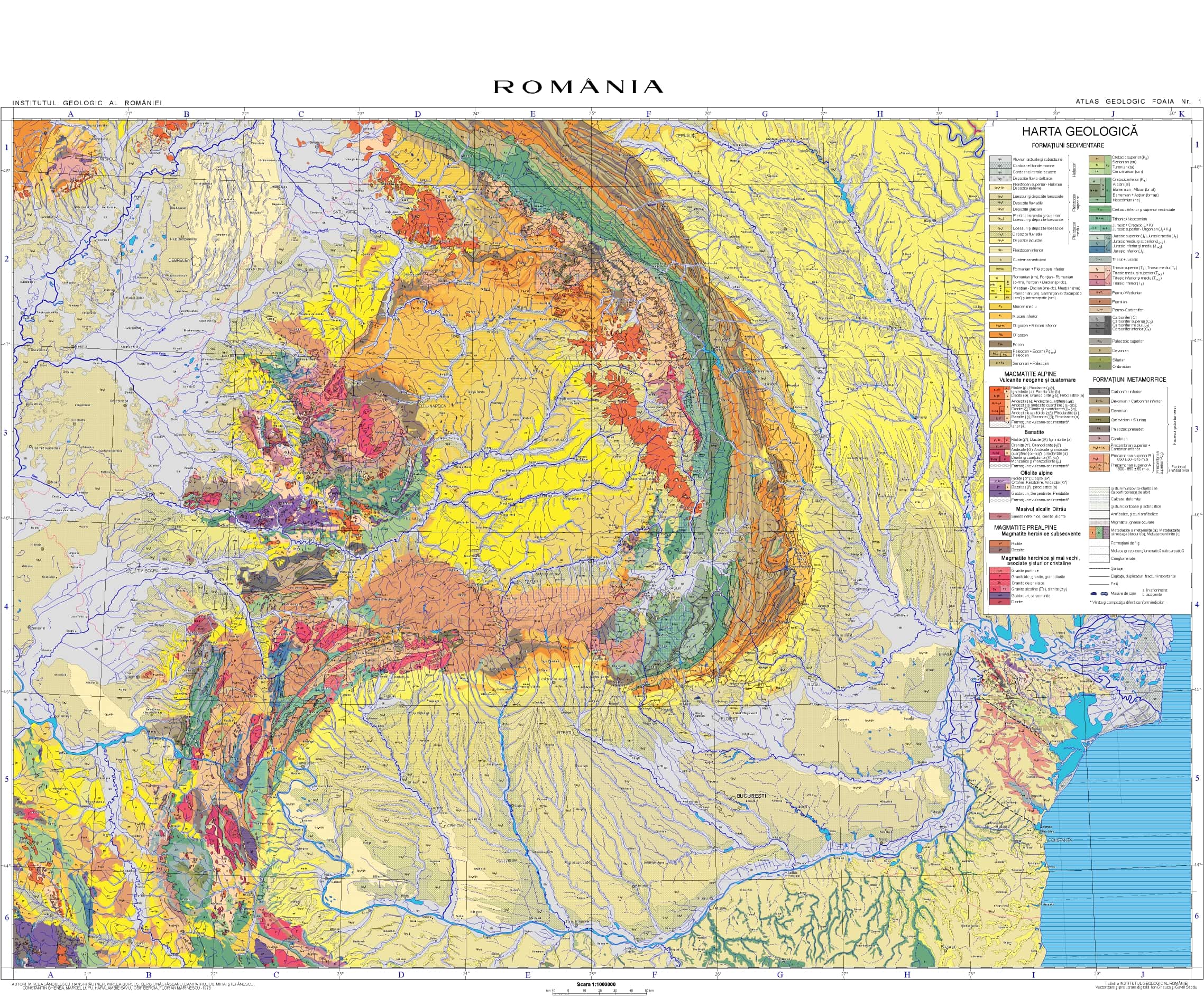
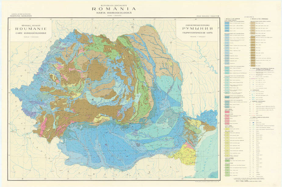
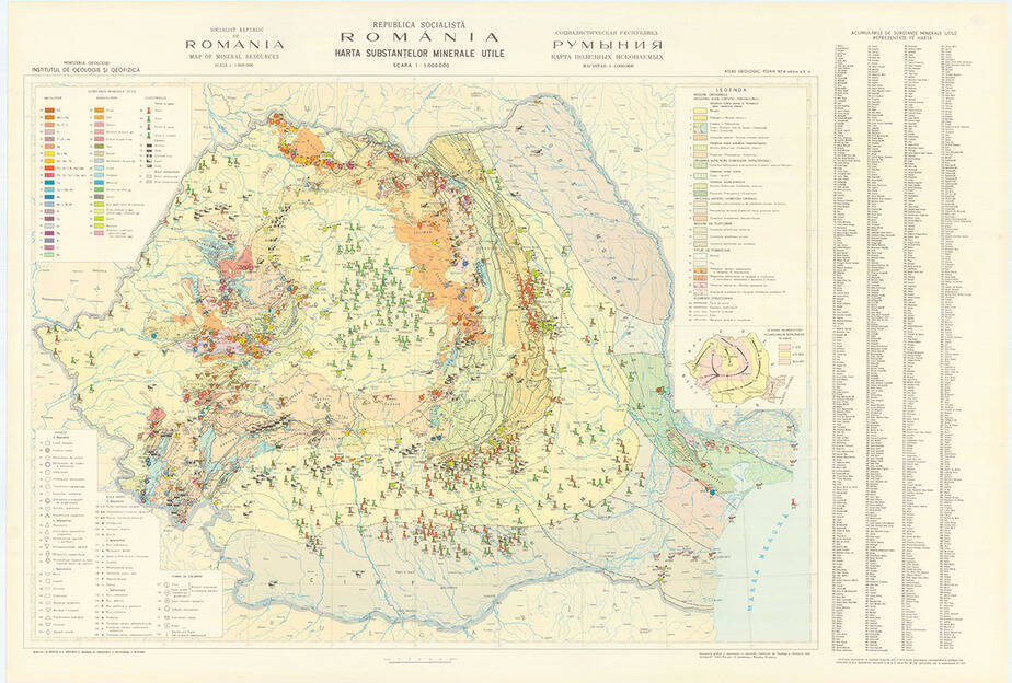
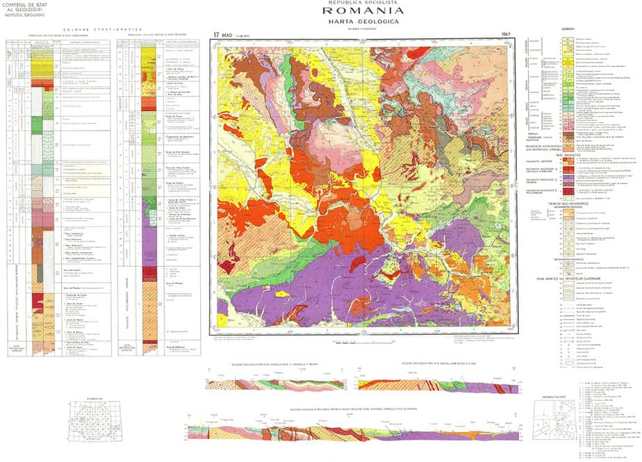
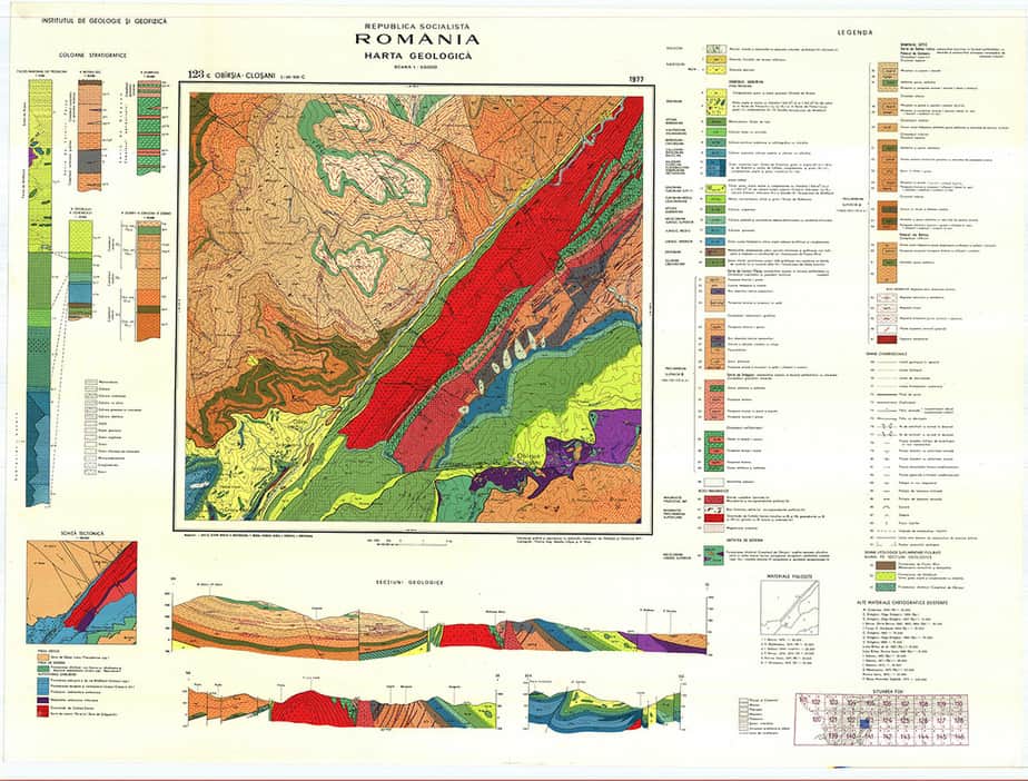
Geological mapping is one of the core activities of the Geological Institute of Romania, an activity initiated upon its establishment in 1906. Over time, the Institute has conducted various geological and hydrogeological (as well as geophysical) mapping programs at different scales. In addition to large-scale map sheets (1:50,000, 1:100,000, and 1:200,000), the Geological Institute has also published a series of atlases at various scales (1:1,000,000–1:2,500,000).
Recent activity
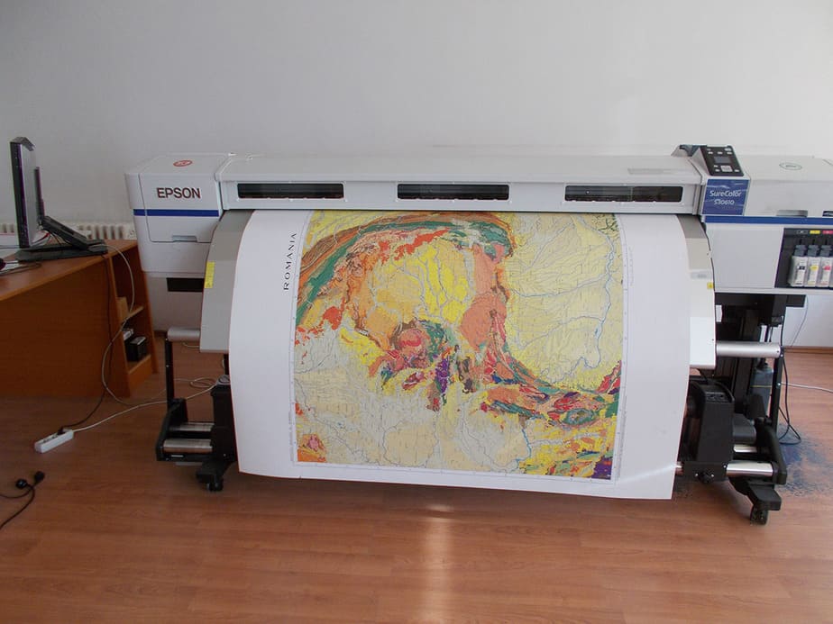
The team members are primarily responsible for producing map sheets at a 1:50,000 scale. Since 2018, when the publication of map sheets was relaunched, the Geological Institute has published 26 sheets at the 1:50,000 scale and four geological cross-sections across Romania at the 1:200,000 scale, prepared by Mihai Ștefănescu and a large group of collaborators (Ștefănescu et al., 2018). Four additional geological map sheets were published in 2019, and another 10 sheets are currently in the process of being published. With the latter, the total number of published map sheets will reach 175. The geological map sheets cover the greater part of the Carpathians, the Subcarpathians, and the Dobrogea Plateau.