Dotare tehnicăProiecteGalerie fotoPersonal

About the team

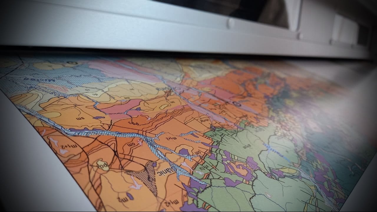
Geological mapping is one of the core activities of the Geological Institute of Romania, an activity initiated upon its establishment in 1906. Over time, the Institute has conducted various geological and hydrogeological (as well as geophysical) mapping programs at different scales. In addition to large-scale map sheets (1:50,000, 1:100,000, and 1:200,000), the Geological Institute has also published a series of atlases at various scales (1:1,000,000–1:2,500,000).

Recent activity

The team members are primarily responsible for producing map sheets at a 1:50,000 scale. Since 2018, when the publication of map sheets was relaunched, the Geological Institute has published 26 sheets at the 1:50,000 scale and four geological cross-sections across Romania at the 1:200,000 scale, prepared by Mihai Ștefănescu and a large group of collaborators (Ștefănescu et al., 2018). Four additional geological map sheets were published in 2019, and another 10 sheets are currently in the process of being published. With the latter, the total number of published map sheets will reach 175. The geological map sheets cover the greater part of the Carpathians, the Subcarpathians, and the Dobrogea Plateau.
Achiziție hărți

The maps can be purchased in both digital format (TIFF, JPEG, PDF) and as paper prints. To purchase cartographic materials, download formularul. The completed form should be sent to the following e-mail address: office[at]igr.ro.

List of main available geological and hydrogeological maps:

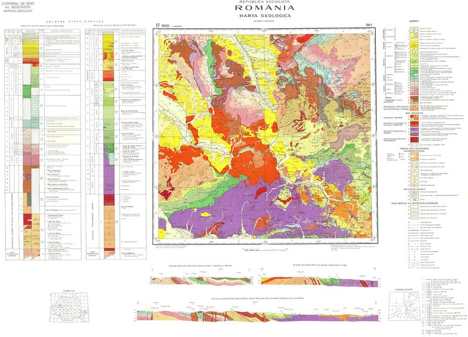
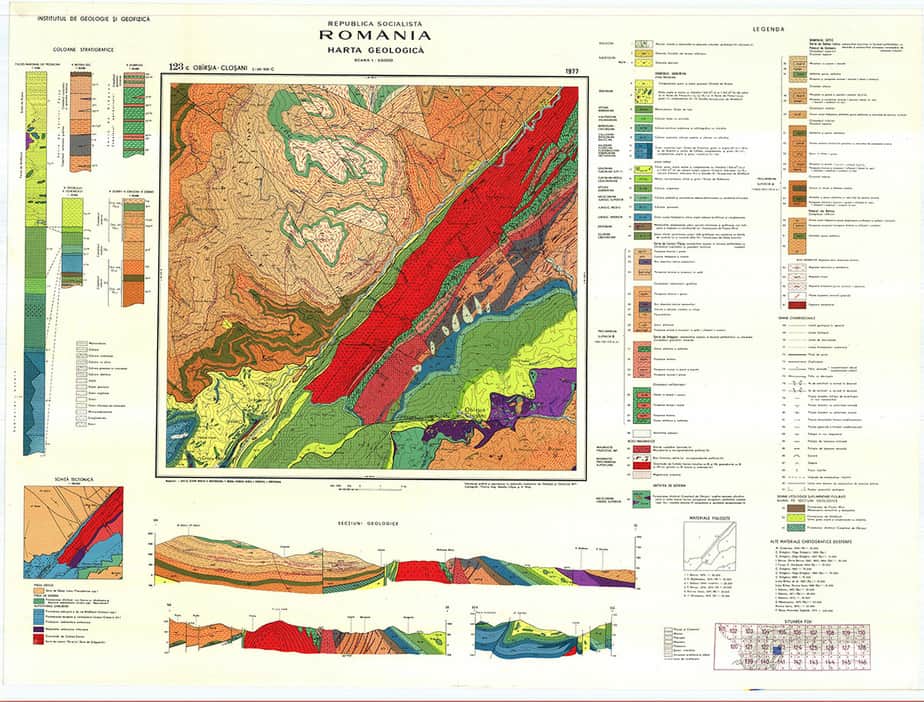
  • Geological map of Romania, scale 1:50,000 (165 sheets)
  • Geological map of Romania, scale 1:100,000 (16 sheets)
  • Geological map of Romania, scale 1:200,000 (50 sheets)
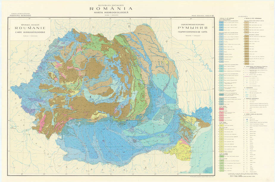
  • Hydrogeological map of Romania, scale 1:100,000 (48 sheets)
  • Pedological map of Romania, scale 1:200,000 (18 map sheets)
  • Cross-sections across Romania, scale 1:200,000 (31 geological sections)
  • Lithofacies atlas, scale 1:2,000,000
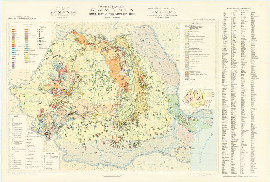
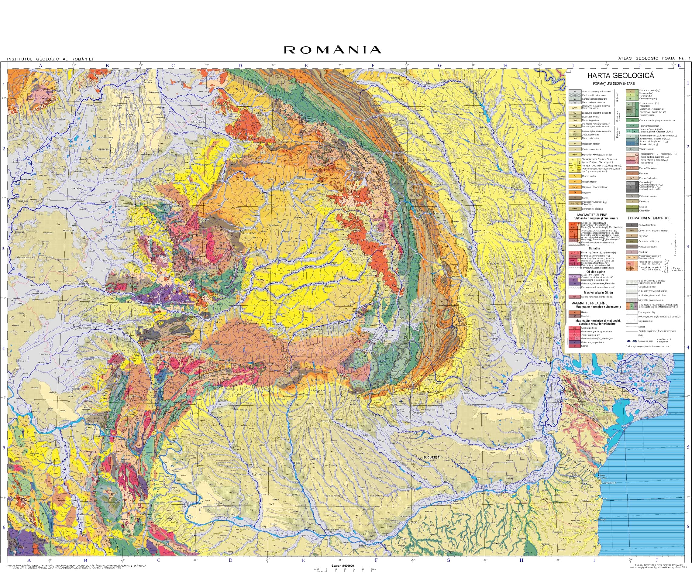
  • Geological atlas of Romania, scale 1:1,000,000 (Geological map, Tectonic map, Neotectonic map, Hydrogeological map, Mineral and thermal waters map, Geothermal map, Soil map, Soil granulometry map, Quaternary map, Metallogenetic map, Useful mineral resources map, Magnetic map—vertical component, Magnetic map—vertical component anomaly, Geological map of pre-Tortonian formations, Geological map of pre-Vraconian formations, Geological map of pre-Westphalian formations, and Geobotanical map).
Map purchase form List of map sheets at 1:50,000 scale published since 2018List of geological sections at 1:200,000 scaleSheet distribution map at 1:50,000 scale Map with sheet distribution at 1:100,000 scaleMap showing the sheet layout at 1:200,000 scale;map showing the hydrogeological sheet layout at 1:100,000 scale.
  • Geological mapping of Romania’s territory (GeoROMap) – PN-23-39-01-01. Implementation period: 2023–2026. Project Manager: Dr. Viorel Ilinca;
  • Assessment of the impact of anthropogenic activities on soils in the Șureanu Mountains – PN-23-39-04-02. Implementation period: 2023–2026. Project Manager: Dr. Monica Ghenciu.
  • PN 19-45-01-03 Preparation, vectorization, correlation, updating, and publication of national geothematic maps (Project Manager: Viorel Ilinca). Period: 2019–2022;
  • PN 18-47-01-01 Contributions to the Geological Map of Romania at 1:50,000 scale: geological mapping, vectorization of partial maps, and printing of final maps (Project Manager: Ion Stelea). Period: 2018;
  • PN 16-06-01-01 Preparation of the Geological Map of Romania at 1:50,000 scale (Project Manager: Gabriel Bindea/Marian Munteanu). Period: 2016–2017;
  • PN 09-21-01-01 Updating and digitization of the Geological Map of Romania at 1:500,000 and 1:50,000 scales (Project Manager: Ion Gheuca). Period: 2009–2015;
  • PN 09-21-01-05 Computerization of the geophysical database (Project Manager: Anca Vîjdea). Period: 2009–2015;
  • PN 16-06-05-01 Geophysical, geochemical, remote sensing, and auxiliary data in GIS format for the IGR portal (Project Manager: Anca Vîjdea). Period: 2016–2017.
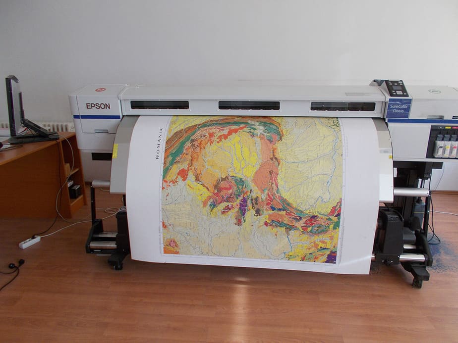
  • A0 scanner;
  • A0 plotter;
  • Mapping and GIS software licenses (OCAD, ArcGIS);
  • Digital remote sensing data processing licenses (ERDAS IMAGINE);

Dr. Eng. Anca VÎJDEA – CS II

  • anca.vijdea(at)igr.ro
  • 031.403.34.29
  • 031.403.34.00 (secretariat IGR)

Dr. Viorel ILINCA – CS II;

Dr. Eng. Monica GHENCIU – CSIII;

Dr. Eng. Flori CULESCU – CSIII;

Dr. Eng. Ion STELEA;

Eng. geol. Ion GHEUCA;

Drd. Valentin NISTOR – ACS

————————

Dr. Albert BALTREȘ ( CS I – consultant);

Dr. Viorica IANCU ( CS I – consultant).

—————————————————————

Contact the team

    Prin utilizarea acestui formular sunteți de acord cu politica de confidențialitate a Institutului Geologic al României